- Duration / Course length: Upto 20 Hours Start now
- Accredited by: CIQCPD Qualification Standards
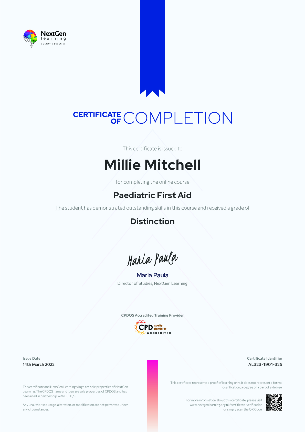
- Certificates:
- Course delivery: This course is delivered in video format
Course details
GIS Training: Remote Sensing & Spatial Analysis in ArcGIS(7-in-1 Career Guided Bundle)
Are you ready to embark on an enlightening journey of wisdom with the GIS Training bundle, and pave your way to an enriched personal and professional future? If so, then Step into a world of knowledge with our course bundle - GIS Training: Remote Sensing & Spatial Analysis in ArcGIS.
Delve into immersive CPD Accredited courses, each a standalone course:
Course 01: Intensive Training on QGIS for Beginners
Course 02: Introduction to GIS and ArcGIS
Course 03: Develop Smart Maps with Python and Leaflet - Windows Version
Course 04: Remote Sensing in ArcGIS
Course 05: Spatial Analysis in ArcGIS
Course 06: The Basics of ArcGIS for Hydrology
Course 07: Python for Spatial Analysis in ArcGIS
Traverse the vast landscapes of theory, unlocking new dimensions of understanding at every turn. Let the GIS Training: Remote Sensing & Spatial Analysis in ArcGIS bundle illuminate your path to wisdom.
The GIS Training: Remote Sensing & Spatial Analysis in ArcGIS bundle offers a comprehensive exploration into a rich tapestry of vast knowledge across carefully curated courses. The journey is designed to enhance your understanding and critical thinking skills. Each course within the bundle provides a deep-dive into complex theories, principles, and frameworks, allowing you to delve into the nuances of the subject matter at your own pace.
In the framework of the GIS Training: Remote Sensing & Spatial Analysis in ArcGIS package, you are bestowed with complimentary PDF certificates for all the courses included in this bundle, all without any additional charge. Adorn yourself with the GIS Training bundle, empowering you to traverse your career trajectory or personal growth journey with self-assurance. Register today and ignite the spark of your professional advancement!
So, don’t wait further and join the GIS Training: Remote Sensing & Spatial Analysis in ArcGIS community today and let your voyage of discovery begin!
Learning Outcomes:
- Attain a holistic understanding in the designated areas of study with the GIS Training bundle.
- Establish robust bases across each course nestled within the GIS Training bundle.
- Decipher intricate concepts through the articulate content of the GIS Training bundle.
- Amplify your prowess in interpreting, scrutinising, and implementing theories.
- Procure the capacity to engage with the course material on an intellectual and profound level.
- Become proficient in the art of problem-solving across various disciplines.
Stepping into the GIS Training bundle is akin to entering a world overflowing with deep theoretical wisdom. Each course within this distinctive bundle is an individual journey, meticulously crafted to untangle the complex web of theories, principles, and frameworks. Learners are inspired to explore, question, and absorb, thus enhancing their understanding and honing their critical thinking skills. Each course invites a personal and profoundly enlightening interaction with knowledge.
The GIS Training bundle shines in its capacity to cater to a wide range of learning needs and lifestyles. It gives learners the freedom to learn at their own pace, forging a unique path of discovery. More than just an educational journey, the GIS Training bundle fosters personal growth, enabling learners to skillfully navigate the complexities of the world.
The GIS Training bundle also illuminates the route to a rewarding career. The theoretical insight acquired through this bundle forms a strong foundation for various career opportunities, from academia and research to consultancy and programme management. The profound understanding fostered by the GIS Training bundle allows learners to make meaningful contributions to their chosen fields. Embark on the GIS Training journey and let knowledge guide you towards a brighter future.
Who is this course for?
- Individuals keen on deepening their firm understanding in the respective fields.
- Students pursuing higher education looking for comprehensive theory modules.
- Professionals seeking to refresh or enhance their knowledge.
- Anyone with a thirst for knowledge and a passion for continuous learning.
Armed with the GIS Training bundle, your professional journey can reach new heights. The comprehensive theoretical knowledge from this bundle can unlock diverse career opportunities across several fields. Whether it's academic research, consultancy, or programme management, the GIS Training bundle lays a solid groundwork. Updated on 15 March, 2024
Eligibility / Requirements
You are cordially invited to enrol in this bundle; please note that there are no formal prerequisites or qualifications required. We've designed this curriculum to be accessible to all, irrespective of prior experience or educational background.
Job roles this course is suitable for:
ArcGIS Technician , Geomatics Engineer , Spatial Analyst , GIS Consultant , Mapping Engineer , Cartography Expert , Cartography Expert , Geospatial Technician , Remote Sensing Specialist , Spatial Data ScientistAbout NextGen Learning
NextGen Learning offers futuristic learning tailored for emerging leaders. Dedicated to empowering learners, this platform boasts a vast array of courses, crafted by industry professionals, for both personal and professional growth. Dive into a transformative journey, unlocking unparalleled potential, and equipping yourself with qualification & skills designed to lead tomorrow's world.


